



€32.00
Transactional Analysis Counselling in Action by Ian Stewart (Farsi)

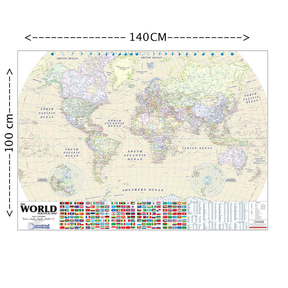
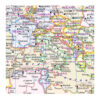
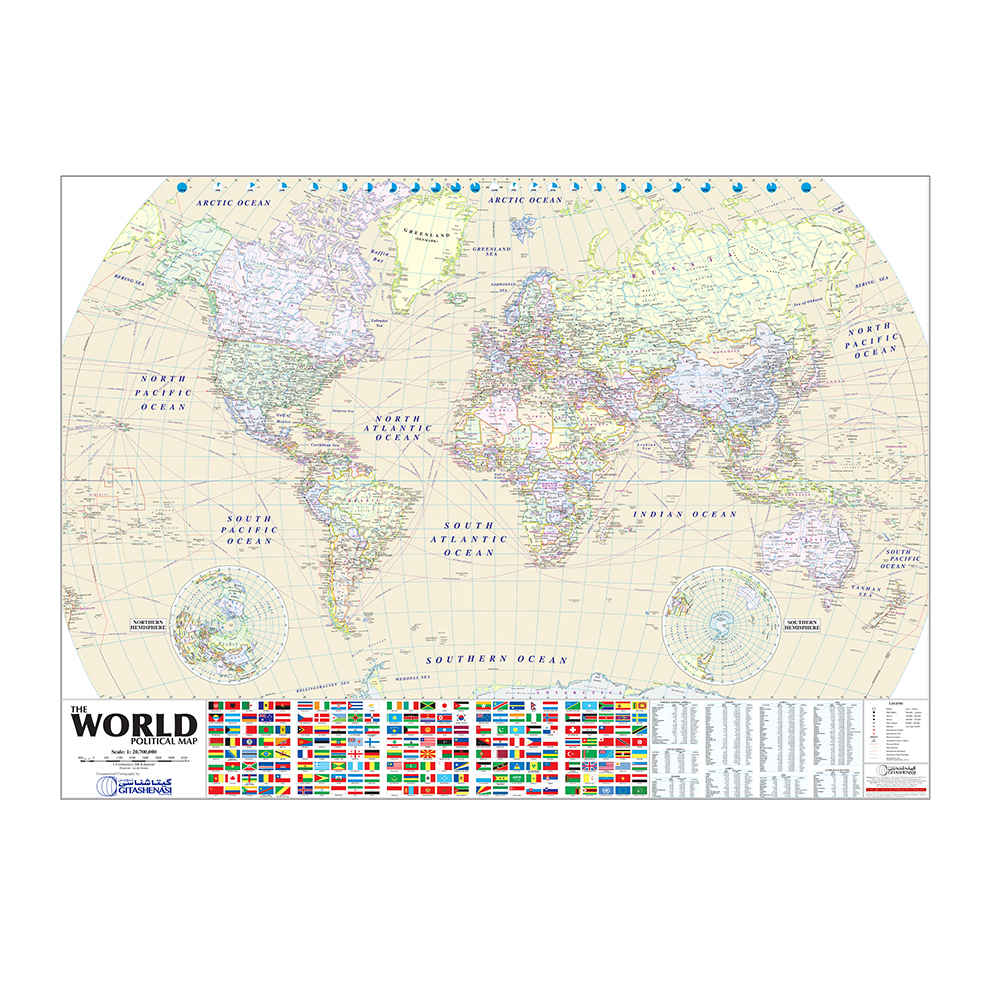
The World Map and Flags of Countries is an educational and decorative wall map that offers a complete overview of the world. It features a detailed political representation of all countries along with their corresponding national flags, helping readers learn about nations and their symbols. Printed on high-quality glossy paper with a satin finish, the map is both durable and visually appealing. It is designed to be an informative and attractive addition to classrooms, study rooms, or offices, making it a valuable tool for students, teachers, and anyone interested in world geography. With clear labeling and vibrant colors, this map makes learning about the world engaging and enjoyable.
| Atlas & Map Type | Educational world map with flags – a visual guide to countries and their national symbols |
|---|---|
| Geographic Region & Coverage | World – complete global coverage with all countries and their flags |
| Scale & Detail Level | 1:20,700,000 – clear and detailed overview for learning geography |
| Persian Title | نقشه جهان و پرچم کشورها – perfect for Persian-speaking kids and adults |
| Format & Binding | Photo satin paper – high-quality print with vibrant colors for engaging learning |
| Weight | 200 g |
|---|---|
| Dimensions | 140 × 100 cm |
| Condition | New |
| Product Type | Printed Book |
| Genre | Maps |
| Format | Photo Satin |
| Language | English |
| Origin | Iran |
Can't find the answer you are looking for? Ask your question and we will help you out.