
€44.40
Islamic Ceramic Plate Inspired by the Legacy of Imam Reza
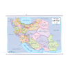
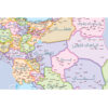
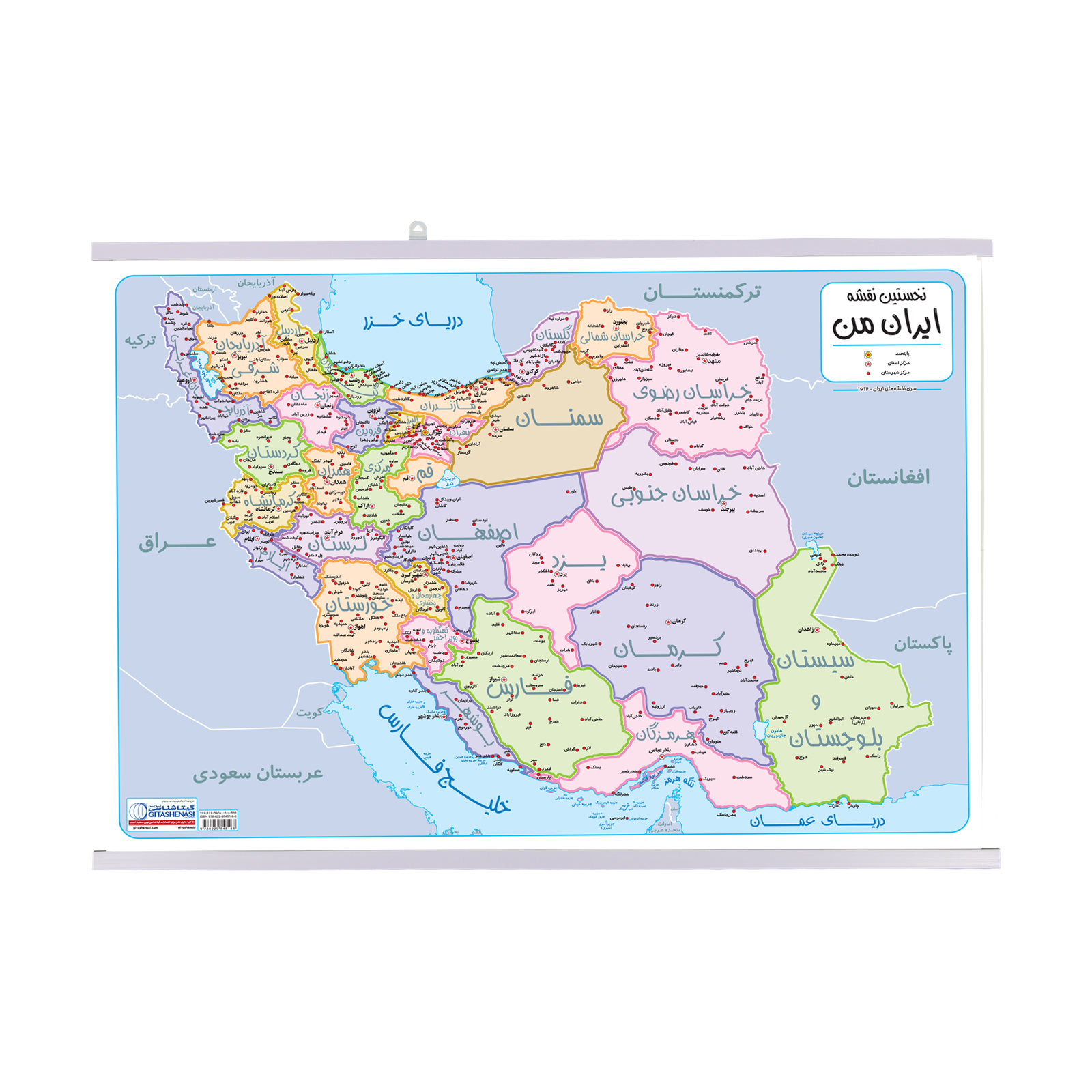

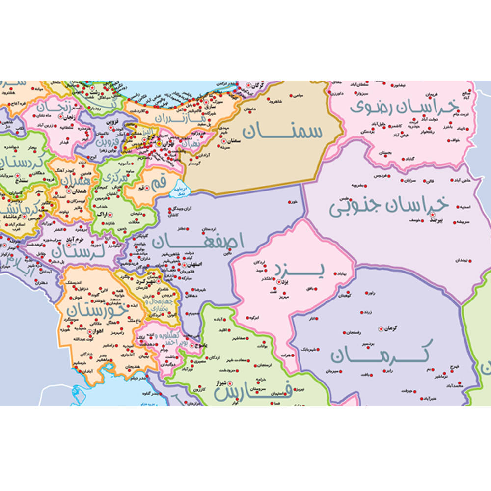
My Map of Iran is the first educational map specially designed and cartographed to meet the learning needs of elementary school students. It helps children gain a general understanding of Iran and its provinces. The map shows the locations of provinces, county centers, and major lakes across the country. It measures 70x50 cm, making it perfectly suited for students’ rooms. To ensure durability and long-term use, the map is laminated on both sides with a transparent protective layer. A plastic hanger is attached to the top and bottom for easy display. This lamination makes the map tear-resistant, easy to clean, and reusable for many years. You can even mark and erase notes on it using whiteboard markers, making it both educational and interactive.
| Weight | 700 g |
|---|---|
| Dimensions | 50 × 70 cm |
| Condition | New |
| Format | Laminated (plastic-coated) |
| Product Type | Maps & Atlases |
| Language | Persian |
| Origin | Iran |
Can't find the answer you are looking for? Ask your question and we will help you out.