


€14.00
Silk Satin Bonnet Sleeping Hat Luxury for Women with Leopard Design Pink
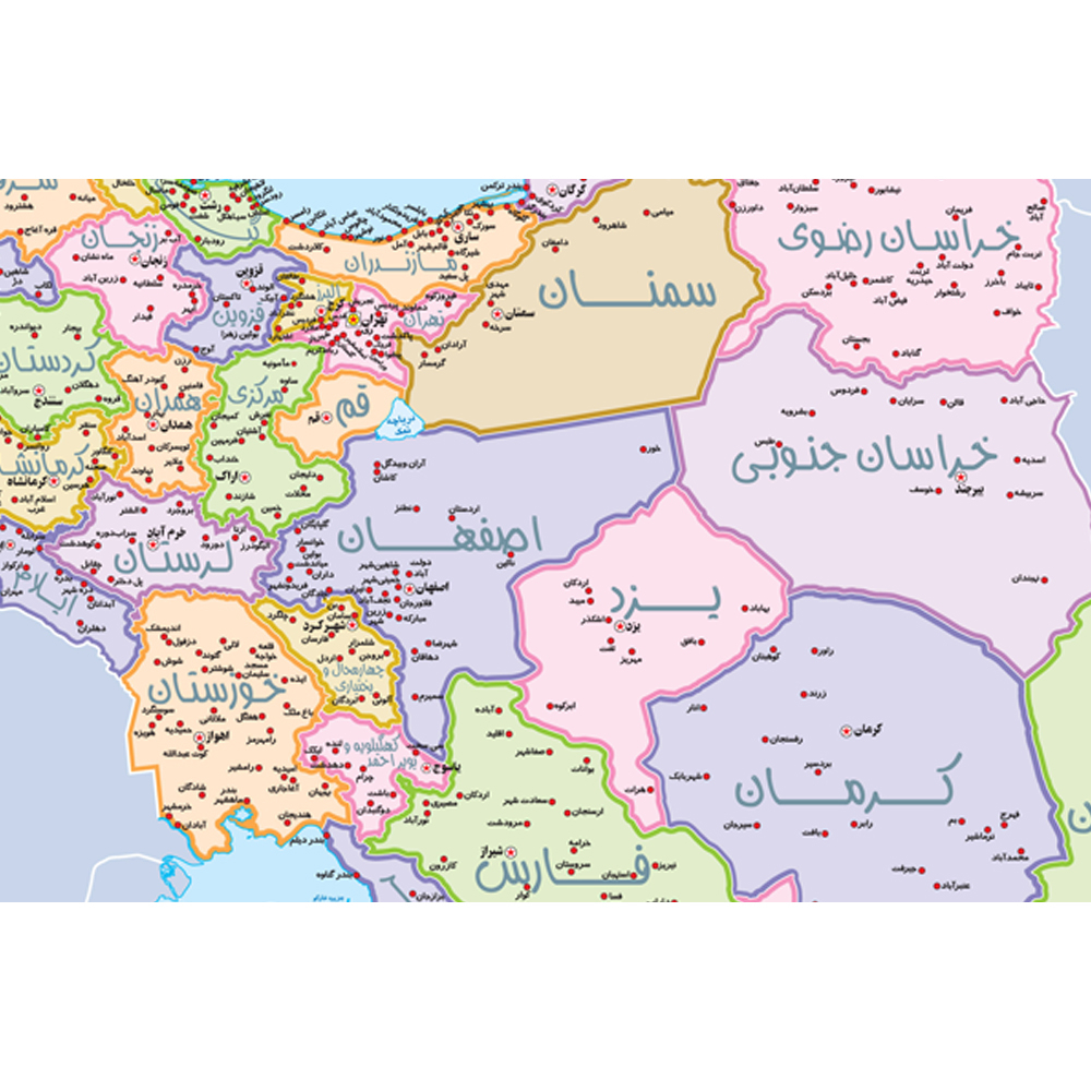
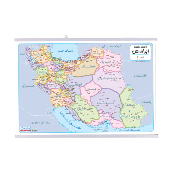
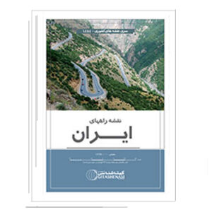
My Map of Iran is the first educational map specially designed and cartographed to meet the learning needs of elementary school students. It helps children gain a general understanding of Iran and its provinces. The map shows the locations of provinces, county centers, and major lakes across the country. It measures 70x50 cm, making it perfectly suited for students’ rooms. To ensure durability and long-term use, the map is laminated on both sides with a transparent protective layer. A plastic hanger is attached to the top and bottom for easy display. This lamination makes the map tear-resistant, easy to clean, and reusable for many years. You can even mark and erase notes on it using whiteboard markers, making it both educational and interactive.
| Weight | 700 g |
|---|---|
| Dimensions | 50 × 70 cm |
| Condition | New |
| Format | Laminated (plastic-coated) |
| Product Type | Maps & Atlases |
| Language | Persian |
| Origin | Iran |
How customer reviews and ratings work
Review this product
Share your thoughts with other customers
✅ If you have previously purchased this product from ShopiPersia, your review will be shown as a verified purchase.
No questions yet. Be the first to ask!