


€71.50
Persian Daf Drum – Sama 1 Stamp

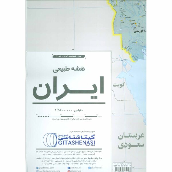
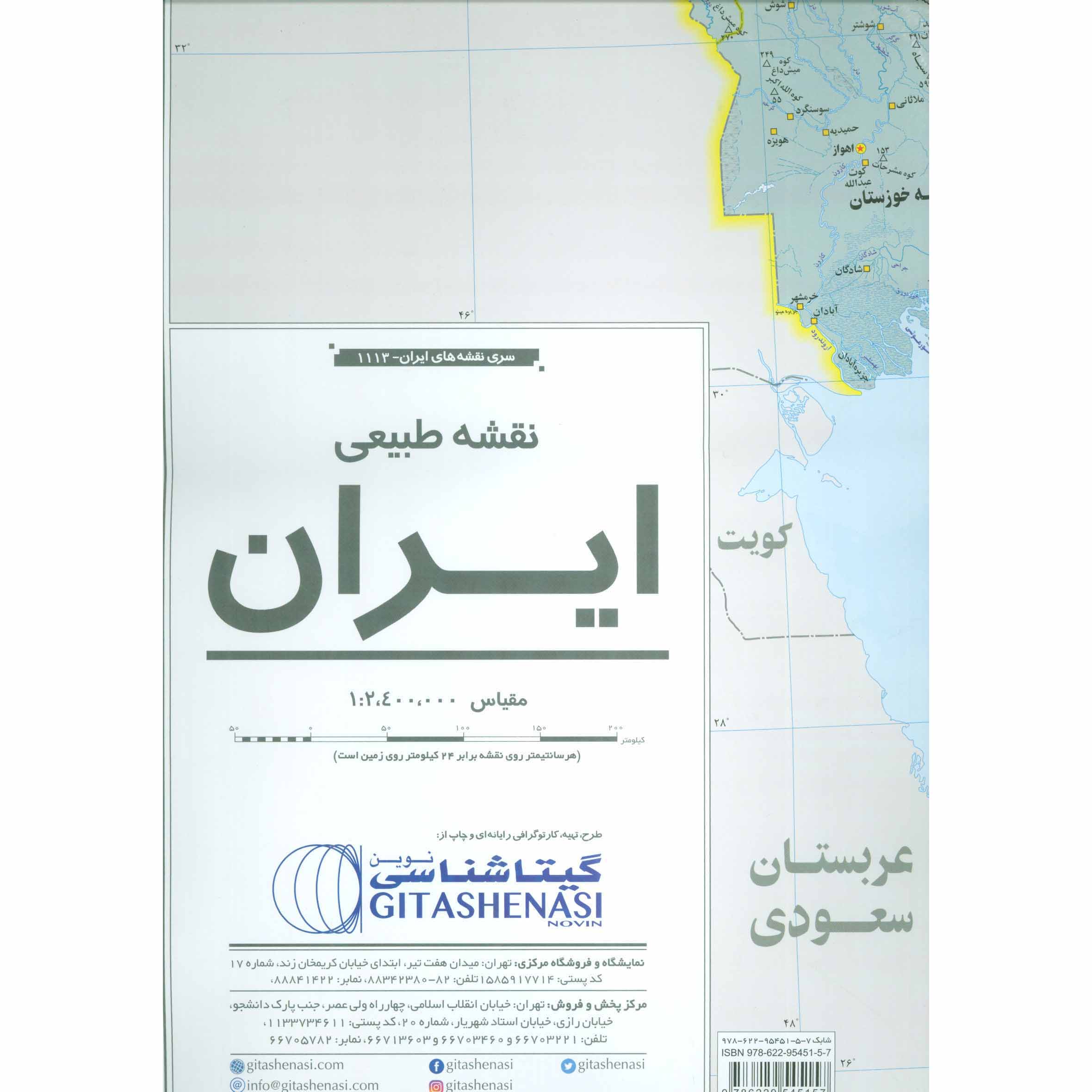
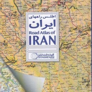
The Iran Topographic Map offers a comprehensive exploration of Iran's natural landscape, detailing its diverse terrain, including mountains, rivers, deserts, and plains. This detailed guide not only showcases prominent elevations and landmarks but also vividly portrays the country's geographical diversity through colorful histograms and raised relief. In addition to highlighting key topographical features like desert regions and salt flats, the map provides labeled cities and counties, facilitating easy navigation and region identification. Moreover, it offers valuable data such as a list of Iran's 33 highest peaks by province and the locations of significant dams across the country. Ideal for adventurers, researchers, and enthusiasts alike, this map is an indispensable tool for understanding and navigating Iran's natural beauty.
| Weight | 200 g |
|---|---|
| Condition | New |
| Language | Persian |
| Coverage | Iran |
| Scale | 1:2,400,000 |
| Product Type | Maps & Atlases |
| Format | Paperback |
How customer reviews and ratings work
Review this product
Share your thoughts with other customers
No questions yet. Be the first to ask!